Finding North Without a Phone: How Analog Navigation Is Quietly Becoming the Coolest Skill in the Outdoors
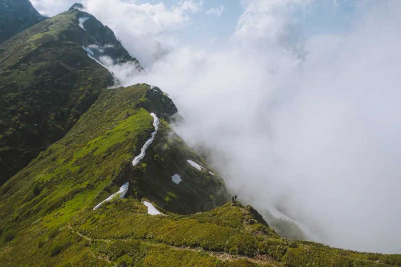
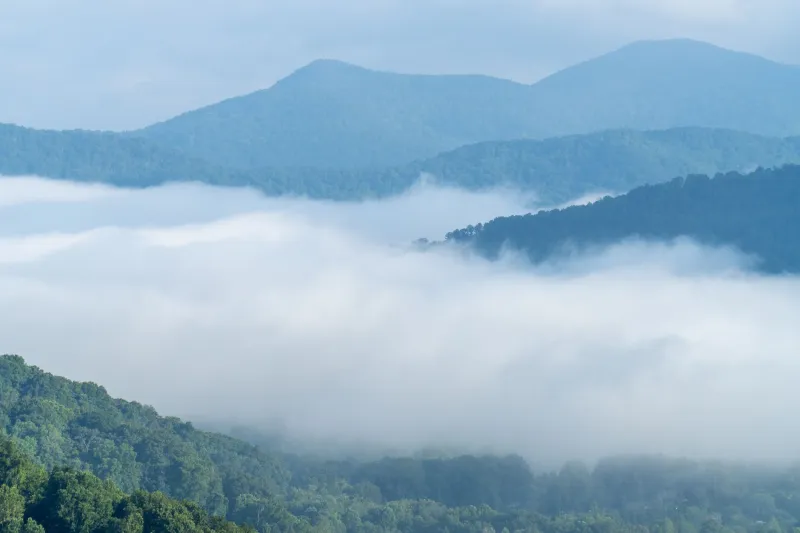
Somewhere in a hollow tucked into the western edge of the Smokies, a 27-year-old named Dani Torres is standing on a ridgeline with a compass, a USGS topo map, and absolutely zero cell service. She's not lost. She's not panicking. She's doing exactly what she came here to do — learning to read the land without the land having to explain itself in pixels.
"The first time I tried this, I kept waiting for something to tell me what to do," she says, refolding the map against the wind. "And then I realized that the whole point is that nothing tells you. You have to figure it out yourself."
This is the valley paradox in its purest form: in an era when navigation has never been easier, the skill of navigating without technology has never been more desirable. And the people chasing it aren't grizzled survivalists or off-grid purists. They're younger, more digitally fluent, and in many cases, more connected than anyone — which is exactly why they're drawn to the deliberate act of disconnecting.
The Skill Nobody Taught This Generation
For most people under 35, analog navigation is essentially a foreign language. Google Maps arrived before many of them had their driver's licenses. The idea of orienting yourself using the position of the sun, the shape of a drainage, or the angle of a hillside isn't intuitive — it's a learned discipline that most of this generation simply never had the chance to pick up.
That gap is starting to show up in the backcountry. Search and rescue teams across the Mountain West have noted a troubling pattern: hikers who are completely capable and physically fit, but who become dangerously disoriented the moment their battery dies or their signal drops. The terrain hasn't gotten harder. The tools have just gotten more fragile.
But alongside that vulnerability, something interesting is happening. Navigation courses — the old-school, compass-and-map kind — are seeing a genuine surge in enrollment. Groups like the Mountaineers in the Pacific Northwest and NOLS programs throughout the Rockies report that waitlists for land navigation workshops are longer than they've been in years. And the people signing up aren't doing it because they have to. They're doing it because they want to.
What GPS Actually Hides From You
Ask anyone who's made the switch from phone-dependent hiking to map-based travel, and they'll tell you the same thing: GPS doesn't just change how you navigate. It changes what you notice.
When a blue dot is doing the work, your brain offloads spatial processing to the device. You stop scanning the horizon. You stop registering which way the creek is running or how the slope is angling or where the light is coming from. You follow a line on a screen, and the landscape around you becomes background noise.
Map-based navigation demands something different. To use a topo map competently, you have to constantly reconcile the abstraction in your hands with the three-dimensional reality around you. You're looking for the saddle that matches the contour lines. You're checking whether that peak to your northwest lines up with what the map says should be there. You're reading the land like a text, and in doing so, you're actually reading it — taking it in, processing it, building a mental model of where you are in relation to everything else.
"I started noticing things I'd walked past a hundred times and never seen," says Marcus Webb, a 31-year-old landscape photographer from Asheville who spent last fall relearning navigation in the Black Mountains. "The way a valley bends. The way the vegetation changes at a certain elevation. It sounds basic, but when you're not staring at your phone, you actually look at stuff."
Celestial Navigation and the Long Game
For a smaller subset of adventurers, the analog revival goes even further than maps and compasses. Celestial navigation — using the position of the sun, moon, and stars to determine location and direction — is attracting practitioners who describe it less as a survival skill and more as a philosophy.
Course offerings in basic celestial navigation for land travelers have popped up through wilderness schools in Montana, Vermont, and the high desert of New Mexico. The curriculum usually starts with simple solar techniques: using a watch and the sun's position to find approximate south, or tracking shadow movement to establish cardinal directions. From there, students move into night navigation using Polaris and the major constellations.
It's slower than GPS by orders of magnitude. That's not a bug — it's the whole point.
"When you navigate by the stars, you're operating on the same timeline as the landscape," says Priya Mehta, who teaches wilderness navigation workshops in the Jemez Mountains of New Mexico. "You're not rushing the terrain. You're moving with it. And that changes everything about how you experience being out there."
Landmark Reading: The Oldest Navigation System There Is
Before maps, before compasses, before any of it, humans navigated by landmark. They memorized the shape of ridgelines, the behavior of rivers, the way certain rock formations appeared from different angles. It was a deeply place-specific knowledge — the kind you could only build through repeated exposure and careful attention.
Modern adventurers are rediscovering this practice under various names: terrain association, natural navigation, or simply paying attention. The idea is to move through a landscape by building a mental library of its features, cross-referencing what you see against what you expect to see based on your map reading, and using the accumulated picture to stay oriented.
It's harder than it sounds, and it takes time to develop. But practitioners say it produces something GPS never can: a genuine sense of place. Not location — place. The feeling of knowing a piece of land well enough to move through it confidently, to understand its logic, to anticipate what's around the next bend.
That's ultimately what draws people to analog navigation, and why it keeps spreading through the adventure community despite — or maybe because of — how unnecessary it appears from the outside.
The Valley as Classroom
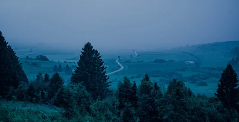
There's a reason so much of this revival is happening in valleys specifically. Enclosed terrain is the ideal training ground for anyone learning to navigate without technology. A valley gives you walls to work with, drainages to follow, ridgelines to identify. It's complex enough to be challenging, but bounded enough to be manageable. You can make mistakes and still find your way out.
More than that, valleys reward the kind of slow, attentive travel that analog navigation requires. They have layers — ecological, geological, cultural — that only reveal themselves to people who are moving at the right speed with the right kind of attention.
Dani Torres, back on her ridgeline in the Smokies, folds her map one more time and takes a bearing. She's not sure she's right. She'll know in about twenty minutes, once she drops into the drainage below and sees what's there.
That uncertainty — that gap between what you think is true and what the land is about to tell you — is the whole game. And she wouldn't trade it for a satellite signal for anything in the world.