Dead Reckoning: What Happens When Your Phone Gives Up and the Valley Takes Over
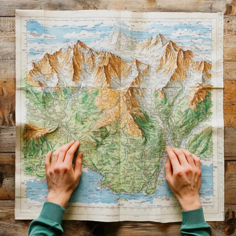
Photo: hiker reading paper topographic map in remote mountain valley no cell service, via img.freepik.com
The last bar of cell service disappeared somewhere around mile marker 14 on a two-track dirt road cutting into the Selway-Bitterroot Wilderness in Idaho. I remember the exact moment because my phone made that little chirping sound — the digital equivalent of a shrug — and then the blue dot on Google Maps just... stopped. It sat there, frozen, like it had decided it had done enough for one day.
I had a 40-liter pack, two days of food, and absolutely no idea where I was.
The False Promise of the Blue Dot
Here's the thing nobody tells you about GPS in deep valley terrain: the technology isn't actually failing. The satellites are still up there, doing their thing. The problem is geometry. In a narrow valley — especially one flanked by steep canyon walls or dense ridgelines — the sky above you shrinks to a strip. Your device can't get a clean line of sight to enough satellites to triangulate your position accurately. Throw in outdated base maps that haven't been updated since the early 2000s, and that confident blue dot becomes something closer to an educated guess.
Cartographer Dana Wilkes, who has spent the better part of two decades updating USGS topographic surveys in the Pacific Northwest, puts it plainly: "The map data feeding most consumer apps in remote valleys is often 20 to 30 years old. Trail reroutes, washed-out roads, new creek crossings — none of that gets updated in real time. People trust the app more than their own eyes, and that's where things go sideways."
Wilkes has seen the consequences firsthand. She's been called in to assist search-and-rescue operations where hikers followed app directions into dead-end drainages or trusted a road that had been seasonally closed for a decade. "The valley doesn't care about your data plan," she told me over the phone from her office in Missoula. "It's been there a lot longer than the internet."
Getting Lost the Old Way
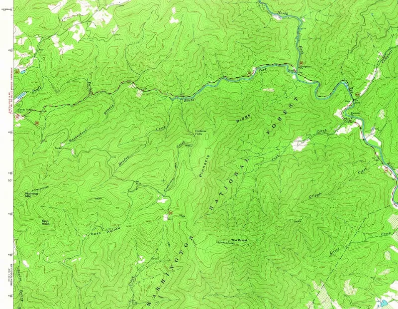
After my phone gave up in the Selway, I did what any reasonable person would do: I panicked for about four minutes, then pulled out the paper topo map I'd almost left in my car. It was creased in the wrong places and slightly damp from the morning's rain, but it was honest. It showed the land as it actually was — contour lines, elevation changes, the patient geometry of a landscape that predates every app on my phone.
There's a particular skill to reading a valley from a paper map that feels almost archaeological. You're not following a route; you're reading a story. The tight contour lines mean the walls close in fast. The gap between two ridges is where the wind will hit you. The blue squiggle that looks like a minor creek on paper might be thigh-deep in May.
I spent the next six hours navigating by landmarks and elevation, the way travelers did it before anyone thought to outsource the thinking to a satellite. And somewhere in that process — probably around the third time I stopped to compare the ridgeline in front of me to the one on the map — I started actually seeing the valley instead of just moving through it.
The People Who Still Know
In isolated valleys across the country, there are people for whom paper maps and local memory aren't nostalgic quirks — they're daily tools. In the Hoh Rain Forest corridor on Washington's Olympic Peninsula, outfitter and guide Marcus Threinen has led backcountry trips for 18 years without once relying on a smartphone for navigation.
"I've got clients show up with these fancy GPS watches, satellite communicators, the whole setup," he says, clearly amused. "And then we drop into the valley and suddenly they're looking at me like, 'okay, what now?' The old-timers in this area used to navigate by the sound of the river. You always know which direction the water's running."
That kind of embedded, sensory knowledge — what geographers sometimes call "vernacular geography" — is exactly what gets lost when we default entirely to digital tools. Valley residents in places like North Carolina's Nantahala Gorge or Colorado's remote Dolores River canyon often carry mental maps of their terrain so detailed that they can describe trail conditions by season, note which creek crossings flood in late snowmelt, and identify landmarks that don't appear on any published map.
Sherry Baughman, who grew up in a hollow in eastern Kentucky's Pine Mountain area and now leads hiking groups through the region, laughs when I ask her about GPS reliability. "My grandfather called it 'going by feel.' You just know the land because you've been in it enough. These hollers have personalities. Once you learn them, you don't need a phone to tell you where you are."
What Getting Lost Actually Teaches You
I made it out of the Selway fine, for the record. Found a Forest Service road by following the drainage downstream — basic wilderness logic that my phone, had it been working, would have never suggested. But the experience reframed something for me about how I travel in remote places.
GPS is a tool, and a genuinely useful one. But in the valleys where the signal drops and the map data goes stale, it can create a dangerous overconfidence. You stop reading the land because you think the device is doing it for you. You miss the visual cues — the way the canyon narrows, the change in vegetation that signals a water source, the faint trace of an old game trail — because your eyes are on a screen.
The best navigators I've met in these dead zones treat technology as a starting point, not a final answer. They download offline maps before they leave cell range. They cross-reference with printed topos. They ask locals. And when all else fails, they slow down, look up, and let the valley tell them where they are.
There's something almost clarifying about that moment when the blue dot freezes and you're left with just yourself and the landscape. The valley was never trying to be discovered. It was just waiting to see if you were paying attention.